Narrow Results By
Subject
- Advertising Medium - Signs and Signboards 2
- Buildings - Civic - Community Centres 1
- Buildings - Commercial 1
- Buildings - Commercial - Restaurants 1
- Buildings - Other 2
- Buildings - Recreational 1
- Buildings - Recreational - Sports 1
- Buildings - Recreational - Swimming Pools 1
- Buildings - Residential 4
- Buildings - Residential - Apartments 6
- Buildings - Schools 1
- Construction 1

Marlborough Neighbourhood
https://search.heritageburnaby.ca/link/landmark802
- Repository
- Burnaby Heritage Planning
- Associated Dates
- 1955-2008
- Heritage Value
- The Marlborough Neighbourhood is another residential area that was witness to rapid growth and subdivision during the 1950s and 1960s, creating primarily single-family housing stock. In the 1970s and 1980s, as the commercial district around Kingsway grew, so too did higher density housing projects such as townhomes and condominiums.
- Historic Neighbourhood
- Central Park (Historic Neighbourhood)
- Planning Study Area
- Marlborough Area
Images

4955-4957 Newton St.
https://search.heritageburnaby.ca/link/archivedescription94325
- Repository
- City of Burnaby Archives
- Date
- November 1994
- Collection/Fonds
- Grover, Elliott & Co. Ltd. fonds
- Description Level
- File
- Physical Description
- 22 photographs : col. negatives ; 35 mm
- Scope and Content
- Photographs of high-rise apartment towers located at 4595 and 4957 Newton Street. The former address no longer exists.
- Repository
- City of Burnaby Archives
- Date
- November 1994
- Collection/Fonds
- Grover, Elliott & Co. Ltd. fonds
- Physical Description
- 22 photographs : col. negatives ; 35 mm
- Description Level
- File
- Record No.
- 622-110
- Access Restriction
- No restrictions
- Reproduction Restriction
- No restrictions
- Accession Number
- 2017-39
- Scope and Content
- Photographs of high-rise apartment towers located at 4595 and 4957 Newton Street. The former address no longer exists.
- Subjects
- Buildings - Residential - Apartments
- Media Type
- Photograph
- Notes
- Transcribed title
- Title transcribed from envelope photographs were originally housed in
- File no. 94-408-B
- Geographic Access
- Newton Street
- Street Address
- 4955 Newton Street
- Historic Neighbourhood
- Central Park (Historic Neighbourhood)
- Planning Study Area
- Marlborough Area
4960 Sanders St.
https://search.heritageburnaby.ca/link/archivedescription93764
- Repository
- City of Burnaby Archives
- Date
- July 13, 1992
- Collection/Fonds
- Grover, Elliott & Co. Ltd. fonds
- Description Level
- File
- Physical Description
- 63 photographs : col. negatives ; 35 mm
- Scope and Content
- Photographs of the exterior of Horizon Tower, a high-rise apartment complex located at 4960 Sanders Street. Photographs of the tower are taken from several vantage points.
- Repository
- City of Burnaby Archives
- Date
- July 13, 1992
- Collection/Fonds
- Grover, Elliott & Co. Ltd. fonds
- Physical Description
- 63 photographs : col. negatives ; 35 mm
- Description Level
- File
- Record No.
- 622-049
- Access Restriction
- No restrictions
- Reproduction Restriction
- No restrictions
- Accession Number
- 2017-39
- Scope and Content
- Photographs of the exterior of Horizon Tower, a high-rise apartment complex located at 4960 Sanders Street. Photographs of the tower are taken from several vantage points.
- Subjects
- Buildings - Residential - Apartments
- Media Type
- Photograph
- Notes
- Transcribed title
- Title transcribed from envelope photographs were originally housed in
- File no. 92-262-B
- Geographic Access
- Sanders Street
- Street Address
- 4960 Sanders Street
- Historic Neighbourhood
- Central Park (Historic Neighbourhood)
- Planning Study Area
- Marlborough Area

5130 Irving Street
https://search.heritageburnaby.ca/link/archivedescription98671
- Repository
- City of Burnaby Archives
- Date
- 2022
- Collection/Fonds
- Disappearing Burnaby collection
- Description Level
- Item
- Physical Description
- 1 photograph (jpeg) : col.
- Scope and Content
- Photograph of the front steps and the entrance of a three-storey apartment building located at 5130 Irving Street. The photograph depicts the building at night, with the lobby and some of the apartments' windows illuminated from inside. The building was constructed in 1971.
- Repository
- City of Burnaby Archives
- Date
- 2022
- Collection/Fonds
- Disappearing Burnaby collection
- Physical Description
- 1 photograph (jpeg) : col.
- Description Level
- Item
- Record No.
- 634-018
- Access Restriction
- No restrictions
- Reproduction Restriction
- No restrictions
- Accession Number
- 2022-14
- Scope and Content
- Photograph of the front steps and the entrance of a three-storey apartment building located at 5130 Irving Street. The photograph depicts the building at night, with the lobby and some of the apartments' windows illuminated from inside. The building was constructed in 1971.
- Media Type
- Photograph
- Photographer
- Cheung, Nakita
- Notes
- Title taken from the associated blog post
- Associated blog post: https://disappearingburnaby.wordpress.com/2022/05/04/e-just-e/
- Geographic Access
- Irving Street
- Street Address
- 5130 Irving Street
- Historic Neighbourhood
- Central Park (Historic Neighbourhood)
- Planning Study Area
- Marlborough Area
Images


5130 Irving Street lobby
https://search.heritageburnaby.ca/link/archivedescription98672
- Repository
- City of Burnaby Archives
- Date
- 2022
- Collection/Fonds
- Disappearing Burnaby collection
- Description Level
- Item
- Physical Description
- 1 photograph (jpeg) : col.
- Scope and Content
- Photograph of the entrance of an apartment building located at 5130 Irving Street. The building was constructed in 1971. The photograph depicts the entrance and the lobby from the exterior at night. The lobby is illuminated and a crest featuring an "E" is on the entrance window.
- Repository
- City of Burnaby Archives
- Date
- 2022
- Collection/Fonds
- Disappearing Burnaby collection
- Physical Description
- 1 photograph (jpeg) : col.
- Description Level
- Item
- Record No.
- 634-019
- Access Restriction
- No restrictions
- Reproduction Restriction
- No restrictions
- Accession Number
- 2022-14
- Scope and Content
- Photograph of the entrance of an apartment building located at 5130 Irving Street. The building was constructed in 1971. The photograph depicts the entrance and the lobby from the exterior at night. The lobby is illuminated and a crest featuring an "E" is on the entrance window.
- Media Type
- Photograph
- Photographer
- Cheung, Nakita
- Notes
- Title taken from the associated blog post
- Associated blog post: https://disappearingburnaby.wordpress.com/2022/05/04/e-just-e/
- Geographic Access
- Irving Street
- Street Address
- 5130 Irving Street
- Historic Neighbourhood
- Central Park (Historic Neighbourhood)
- Planning Study Area
- Marlborough Area
Images


6280 Marlborough Avenue
https://search.heritageburnaby.ca/link/archivedescription98673
- Repository
- City of Burnaby Archives
- Date
- 2022
- Collection/Fonds
- Disappearing Burnaby collection
- Description Level
- Item
- Physical Description
- 1 photograph (jpeg) : col.
- Scope and Content
- Photograph of the front steps and entry to a three-storey apartment building, located at 6280 Marlborough Avenue. The photograph depicts the building at night and shows the brick building's details, including its lion statues and busts along the stair railings and the curved arches in front of the …
- Repository
- City of Burnaby Archives
- Date
- 2022
- Collection/Fonds
- Disappearing Burnaby collection
- Physical Description
- 1 photograph (jpeg) : col.
- Description Level
- Item
- Record No.
- 634-020
- Access Restriction
- No restrictions
- Reproduction Restriction
- No restrictions
- Accession Number
- 2022-14
- Scope and Content
- Photograph of the front steps and entry to a three-storey apartment building, located at 6280 Marlborough Avenue. The photograph depicts the building at night and shows the brick building's details, including its lion statues and busts along the stair railings and the curved arches in front of the front windows and door. The building was constructed in 1973.
- Media Type
- Photograph
- Photographer
- Cheung, Nakita
- Notes
- Title taken from the associated blog post
- Associated blog post: https://disappearingburnaby.wordpress.com/2022/05/12/marlborough-ave/
- Geographic Access
- Marlborough Avenue
- Street Address
- 6280 Marlborough Avenue
- Historic Neighbourhood
- Central Park (Historic Neighbourhood)
- Planning Study Area
- Marlborough Area
Images

![Backyard playhouse, [199-] (date of original), digitally copied 2012 thumbnail](/media/hpo/_Data/_Archives_Images/_Unrestricted/540/549-022.jpg?width=280)
Backyard playhouse
https://search.heritageburnaby.ca/link/archivedescription76901
- Repository
- City of Burnaby Archives
- Date
- [199-] (date of original), digitally copied 2012
- Collection/Fonds
- Community Heritage Commission Special Projects fonds
- Description Level
- Item
- Physical Description
- 1 photograph (jpeg) : col. ; 300ppi
- Scope and Content
- Photograph of the original backyard playhouse on the Champion family property (the windows on the playhouse are from an early Stanley Park beach house).
- Repository
- City of Burnaby Archives
- Date
- [199-] (date of original), digitally copied 2012
- Collection/Fonds
- Community Heritage Commission Special Projects fonds
- Physical Description
- 1 photograph (jpeg) : col. ; 300ppi
- Description Level
- Item
- Record No.
- 549-022
- Access Restriction
- No restrictions
- Reproduction Restriction
- Reproduce for fair dealing purposes only
- Accession Number
- 2012-30
- Scope and Content
- Photograph of the original backyard playhouse on the Champion family property (the windows on the playhouse are from an early Stanley Park beach house).
- Subjects
- Buildings - Other
- Media Type
- Photograph
- Notes
- Title based on contents of photograph
- Historic Neighbourhood
- Central Park (Historic Neighbourhood)
- Planning Study Area
- Marlborough Area
Images
![Backyard playhouse, [199-] (date of original), digitally copied 2012 thumbnail](/media/hpo/_Data/_Archives_Images/_Unrestricted/540/549-022.jpg)
![Backyard shed, [199-] (date of original), digitally copied 2012 thumbnail](/media/hpo/_Data/_Archives_Images/_Unrestricted/540/549-023.jpg?width=280)
Backyard shed
https://search.heritageburnaby.ca/link/archivedescription76902
- Repository
- City of Burnaby Archives
- Date
- [199-] (date of original), digitally copied 2012
- Collection/Fonds
- Community Heritage Commission Special Projects fonds
- Description Level
- Item
- Physical Description
- 1 photograph (jpeg) : col. ; 300ppi
- Scope and Content
- Photograph of the original backyard shed on the Champion family property.
- Repository
- City of Burnaby Archives
- Date
- [199-] (date of original), digitally copied 2012
- Collection/Fonds
- Community Heritage Commission Special Projects fonds
- Physical Description
- 1 photograph (jpeg) : col. ; 300ppi
- Description Level
- Item
- Record No.
- 549-023
- Access Restriction
- No restrictions
- Reproduction Restriction
- Reproduce for fair dealing purposes only
- Accession Number
- 2012-30
- Scope and Content
- Photograph of the original backyard shed on the Champion family property.
- Subjects
- Buildings - Other
- Media Type
- Photograph
- Notes
- Title based on contents of photograph
- Historic Neighbourhood
- Central Park (Historic Neighbourhood)
- Planning Study Area
- Marlborough Area
Images
![Backyard shed, [199-] (date of original), digitally copied 2012 thumbnail](/media/hpo/_Data/_Archives_Images/_Unrestricted/540/549-023.jpg)
![Burnaby French Language Preschool construction, [1999] thumbnail](/media/hpo/_Data/_Archives_Images/_Unrestricted/535/535-3308-1.jpg?width=280)
Burnaby French Language Preschool construction
https://search.heritageburnaby.ca/link/archivedescription98230
- Repository
- City of Burnaby Archives
- Date
- [1999]
- Collection/Fonds
- Burnaby NewsLeader photograph collection
- Description Level
- File
- Physical Description
- 2 photographs (tiff) : col.
- Scope and Content
- File contains photographs showing unidentified construction workers taking down and moving portables at the Burnaby French Language Preschool.
- Repository
- City of Burnaby Archives
- Date
- [1999]
- Collection/Fonds
- Burnaby NewsLeader photograph collection
- Physical Description
- 2 photographs (tiff) : col.
- Description Level
- File
- Record No.
- 535-3308
- Access Restriction
- No restrictions
- Reproduction Restriction
- No restrictions
- Accession Number
- 2018-12
- Scope and Content
- File contains photographs showing unidentified construction workers taking down and moving portables at the Burnaby French Language Preschool.
- Media Type
- Photograph
- Notes
- Title based on contents of file
- Collected by editorial for use in an August 1999 issue of the Burnaby NewsLeader
- Geographic Access
- Marlborough Avenue
- Street Address
- 6060 Marlborough Avenue
- Historic Neighbourhood
- Central Park (Historic Neighbourhood)
- Planning Study Area
- Marlborough Area
Images
![Burnaby French Language Preschool construction, [1999] thumbnail](/media/hpo/_Data/_Archives_Images/_Unrestricted/535/535-3308-1.jpg)
![Burnaby Laphounds Club rock and gem show, [1999] thumbnail](/media/hpo/_Data/_Archives_Images/_Unrestricted/535/535-3369.jpg?width=280)
Burnaby Laphounds Club rock and gem show
https://search.heritageburnaby.ca/link/archivedescription98359
- Repository
- City of Burnaby Archives
- Date
- [1999]
- Collection/Fonds
- Burnaby NewsLeader photograph collection
- Description Level
- Item
- Physical Description
- 1 photograph (tiff) : col.
- Scope and Content
- Photograph of Fred Wilson, wearing magnifying glasses and examining a piece of blue laser quartz, at a rock and gem show hosted by the Burnaby Laphounds Club at the Bonsor Recreation Centre.
- Repository
- City of Burnaby Archives
- Date
- [1999]
- Collection/Fonds
- Burnaby NewsLeader photograph collection
- Physical Description
- 1 photograph (tiff) : col.
- Description Level
- Item
- Record No.
- 535-3369
- Access Restriction
- No restrictions
- Reproduction Restriction
- No restrictions
- Accession Number
- 2018-12
- Scope and Content
- Photograph of Fred Wilson, wearing magnifying glasses and examining a piece of blue laser quartz, at a rock and gem show hosted by the Burnaby Laphounds Club at the Bonsor Recreation Centre.
- Media Type
- Photograph
- Photographer
- Bartel, Mario
- Notes
- Title based on caption
- Collected by editorial for use in an October 1999 issue of the Burnaby NewsLeader
- Caption from metadata: "Fred Wilson examines a chunk of blue laser quartz at a rock and gem show, hosted by the Burnaby Laphounds Club, at Bonsor Rec. Centre."
- Geographic Access
- Bonsor Avenue
- Street Address
- 6550 Bonsor Avenue
- Historic Neighbourhood
- Central Park (Historic Neighbourhood)
- Planning Study Area
- Marlborough Area
Images
![Burnaby Laphounds Club rock and gem show, [1999] thumbnail](/media/hpo/_Data/_Archives_Images/_Unrestricted/535/535-3369.jpg)

Coin Counting Machine
https://search.heritageburnaby.ca/link/archivedescription95117
- Repository
- City of Burnaby Archives
- Date
- May 27, 2020
- Collection/Fonds
- Burnaby Photographic Society fonds
- Description Level
- Item
- Physical Description
- 1 photograph (tiff)
- Scope and Content
- Photograph of a coin counter at Vancity Credit Union on Kingsway. Signs taped to the machine state that the machine is closed due to COVID-19 health warnings.
- Repository
- City of Burnaby Archives
- Date
- May 27, 2020
- Collection/Fonds
- Burnaby Photographic Society fonds
- Physical Description
- 1 photograph (tiff)
- Description Level
- Item
- Record No.
- 623-035
- Access Restriction
- No restrictions
- Reproduction Restriction
- No restrictions
- Accession Number
- 2020-10
- Scope and Content
- Photograph of a coin counter at Vancity Credit Union on Kingsway. Signs taped to the machine state that the machine is closed due to COVID-19 health warnings.
- Media Type
- Photograph
- Photographer
- Peterman, Randall
- Notes
- Transcribed title
- Geographic Access
- Kingsway
- Street Address
- 5064 Kingsway
- Historic Neighbourhood
- Central Park (Historic Neighbourhood)
- Planning Study Area
- Marlborough Area
Images


Interview with Don Brown by Rod Fowler February 26, 1990 - Track 8
https://search.heritageburnaby.ca/link/oralhistory509
- Repository
- City of Burnaby Archives
- Date Range
- 1947-1990
- Length
- 00:11:47
- Summary
- This portion of the interview is about Don Brown identifying old businesses and stores on Kingsway, and talking about the operation of the interurban, the lack of cars after the war, and the two vehicles used by the Burnaby police in 1948. He talks about the expansion of Burnaby in the 1950‘s and t…
- Repository
- City of Burnaby Archives
- Summary
- This portion of the interview is about Don Brown identifying old businesses and stores on Kingsway, and talking about the operation of the interurban, the lack of cars after the war, and the two vehicles used by the Burnaby police in 1948. He talks about the expansion of Burnaby in the 1950‘s and the attempts to preserve heritage buildings and trees, historic records, and green space
- Date Range
- 1947-1990
- Photo Info
- Royal Canadian Mounted Police Sergeant Don Brown, November 2, 1997. Item no. 535-0979
- Length
- 00:11:47
- Historic Neighbourhood
- Central Park (Historic Neighbourhood)
- Planning Study Area
- Marlborough Area
- Maywood Area
- Interviewer
- Fowler, Rod
- Interview Date
- February 26, 1990
- Scope and Content
- Recording is of an interview with Don Brown, conducted by Rod Fowler. Don Brown was one of eleven participants interviewed as part of the SFU/Burnaby Centennial Committee's oral history series titled, "Voices of Burnaby". The interview is mainly about Don Brown’s description of the changes in Burnaby’s built and natural landscapes and socioeconomic conditions, especially between 1947 and 1975, the strong impression made on him by those changes evident in the interview. He talks about his work and career as a police officer with the Burnaby Provincial Police and RCMP. The interview also details his involvement in Burnaby politics and volunteer community groups. To view “Narrow By” terms for each track expand this description and see “Notes”.
- Biographical Notes
- Donald Neil “Don” Brown was born in Birmingham, England May 4, 1919, and immigrated with his parents and siblings to Winnipeg in 1922. At the outbreak of WWII Don Brown left high school and enlisted in the 12th Field Company, Royal Canadian Engineers, serving six years in the army. Before going overseas he married Helen Birch in 1939. In 1947 Don Brown joined the B.C. Provincial Police which was absorbed by the RCMP in 1950. He worked as a police officer in Burnaby from 1947 to 1954, and then was transferred to Ottawa (with a stop in Regina) for nine and a half years where he attended Carleton University to study forensics. In 1963 Don Brown was transferred back to Vancouver and bought and moved into a house on Watling Street in Burnaby where he still lived in 1990. Another transfer took him to Edmonton for five years, returning to Burnaby in 1975. Following retirement in 1980 with the rank of Supervisor and after 22 years in forensic laboratories, Don Brown started his own business as a private document examiner. Don Brown was active in Burnaby politics, serving as Alderman from 1979-1985. He was also involved in many community groups including the South Burnaby Men’s Club, which he helped found in 1952, as well as active in the Burnaby Historical Society, and served on the Burnaby School Board, Burnaby Centennial Committee, and the Community College for the Retired. Don and Helen Brown had six children: Donna, Don, Gina, Patricia, Christopher and Susan. Don Brown died May 16, 2009.
- Total Tracks
- 14
- Total Length
- 01:35:07
- Interviewee Name
- Brown, Donald N. "Don"
- Interviewer Bio
- Rod Fowler returned to university as a mature student in the 1980s after working about twenty years in the field of economics and computerization in business in England, Europe and Western Canada. He graduated with a BA from SFU in both History and Sociology in 1987, his MA degree in Geography in 1989, and his PhD in Cultural Geography at SFU. He taught courses in Geography, Sociology, History and Canadian Studies at several Lower Mainland colleges, before becoming a full time member of the Geography Department at Kwantlen University College.
- Collection/Fonds
- SFU/Burnaby Centennial Committee fonds
- Transcript Available
- Transcript available
- Media Type
- Sound Recording
- Web Notes
- Interviews were digitized in 2015 allowing them to be accessible on Heritage Burnaby. The digitization project was initiated by the Community Heritage Commission with support from City of Burnaby Council.
Images

Audio Tracks
Track eight of interview with Don Brown
Track eight of interview with Don Brown
https://search.heritageburnaby.ca/media/hpo/_Data/_Archives_Oral_Histories/_Unrestricted/MSS187-016/MSS187-016_Track%208.mp3![Painting a SkyTrain station, [1999] thumbnail](/media/hpo/_Data/_Archives_Images/_Unrestricted/535/535-3317.jpg?width=280)
Painting a SkyTrain station
https://search.heritageburnaby.ca/link/archivedescription98250
- Repository
- City of Burnaby Archives
- Date
- [1999]
- Collection/Fonds
- Burnaby NewsLeader photograph collection
- Description Level
- Item
- Physical Description
- 1 photograph (tiff) : col.
- Scope and Content
- Photograph of a worker touching up the paint on part of the Royal Oak SkyTrain station.
- Repository
- City of Burnaby Archives
- Date
- [1999]
- Collection/Fonds
- Burnaby NewsLeader photograph collection
- Physical Description
- 1 photograph (tiff) : col.
- Description Level
- Item
- Record No.
- 535-3317
- Access Restriction
- No restrictions
- Reproduction Restriction
- No restrictions
- Accession Number
- 2018-12
- Scope and Content
- Photograph of a worker touching up the paint on part of the Royal Oak SkyTrain station.
- Media Type
- Photograph
- Notes
- Title based on contents of photograph
- Collected by editorial for use in a September 1999 issue of the Burnaby NewsLeader
- Geographic Access
- Royal Oak Avenue
- Historic Neighbourhood
- Central Park (Historic Neighbourhood)
- Planning Study Area
- Marlborough Area
Images
![Painting a SkyTrain station, [1999] thumbnail](/media/hpo/_Data/_Archives_Images/_Unrestricted/535/535-3317.jpg)
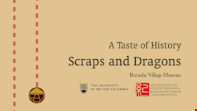
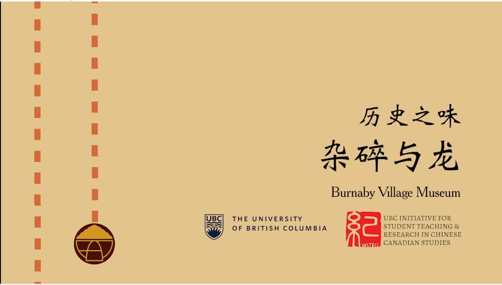
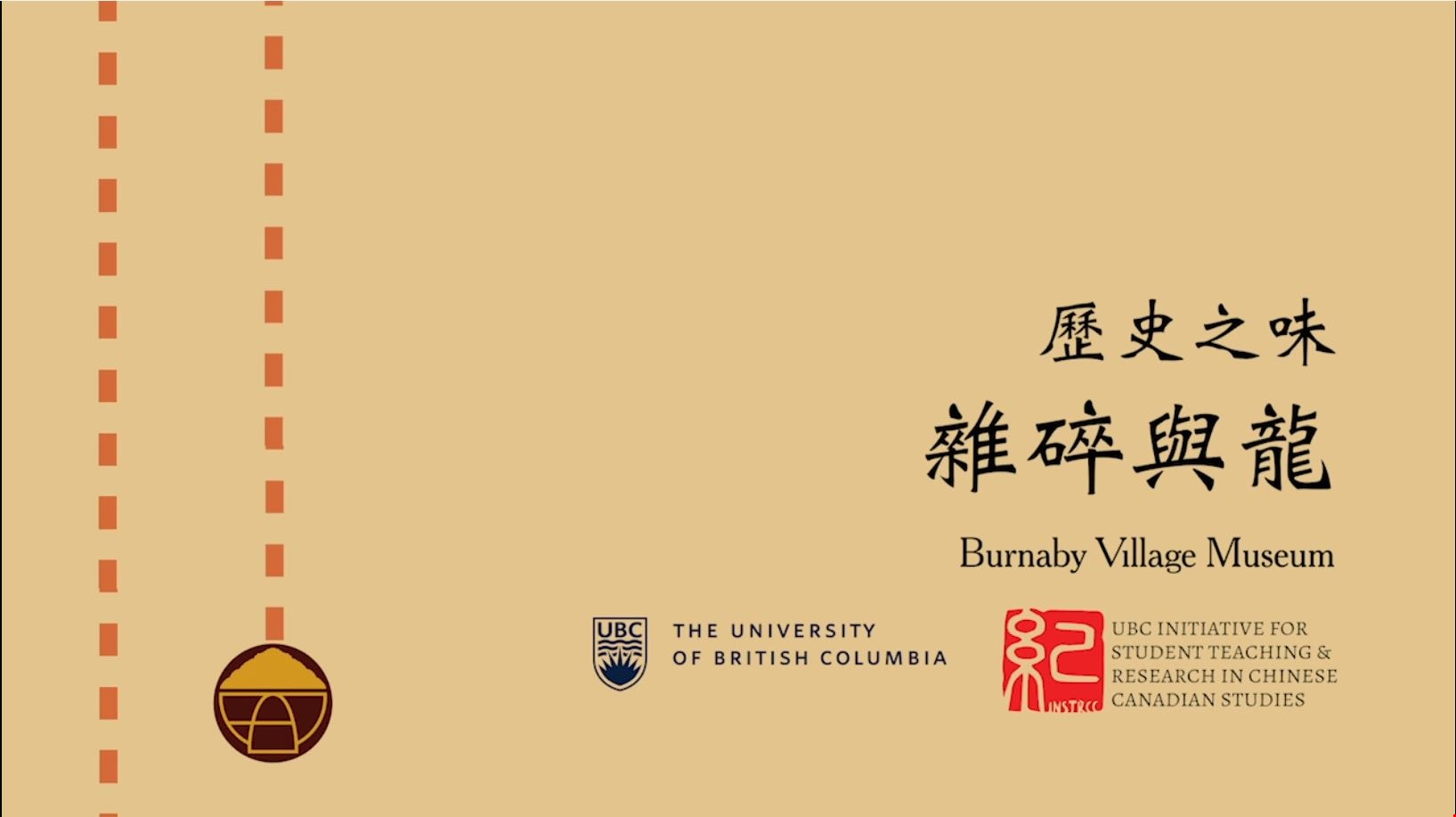
Scraps and Dragons
https://search.heritageburnaby.ca/link/museumdescription14273
- Repository
- Burnaby Village Museum
- Date
- Oct. 2020
- Collection/Fonds
- Burnaby Village Museum fonds
- Description Level
- Item
- Physical Description
- 3 video recordings (mp4) (11 min., 19 sec.) : digital, col., sd., stereo, subtitles
- Scope and Content
- Item consists of part one in a two part video series "A Taste of History" created by Debbie Liang and Joty Gill, University of British Columbia alumni and graduates from the Asian Canadian & Asian Migration Studies program (ACAM). Part one is titled "Scraps and Dragons". The film provides backgroun…
- Repository
- Burnaby Village Museum
- Collection/Fonds
- Burnaby Village Museum fonds
- Series
- UBC Partnership series
- Description Level
- Item
- Physical Description
- 3 video recordings (mp4) (11 min., 19 sec.) : digital, col., sd., stereo, subtitles
- Material Details
- Script: Debbie Liang; Joty Gill Narration: Debbie Liang Editor: Debbie Liang Subtitles: English; Simplified Chinese; Traditional Chinese Video Appearances: Kathy Lee; Eleanor Lee Interviews filmed by: Eleanor Lee Interview questions: Eleanor Lee; Debbie Liang Illustrations and Animations: Debbie Liang Photos, Images & B-roll: Vegetable letters from Shutterstock; Green onion and carrot footage from Debbie Liang; Chop Suey image courtesy of pulaw from Flickr, Creative Commons Attribution 2.0 Generic (CC By 2.0); Chop Suey from Shutterstock; Menus by Amy Wilson; Gold Dragon booklet cover and menu image- courtesy of UBC RBSC Chung Collection (RBSC-ARC-1679-CCTX-309-122); Chop Suey Nation book cover, image courtesy of Douglas & MacIntyre; Dragon Inn: City of Burnaby Archives, 556-239 photo by John McCarron; Larry Lee, image courtesy of Eleanor Lee; VanTech, image courtesy of Mike from Flickr, Creative Commons Attribution-ShareAlike 2.0 Generic (CC BY-SA 2.0); Bamboo Terrace, image courtesy of Rob from Flickr, public domain; Map image courtesy of Sentinel 2 from wikimedia Creative Commons; Salad bar inside of Dragon Inn Restaurant, Burnaby Village Museum, BV017.37.3; John Lee: City of Burnaby Archives, 535-0415, photo by Brian Langdeau; Photograph - Bar Inside the Dragon Inn Restaurant - Burnaby Village Museum, BV017.37.2; Chopping Mushrooms, footage courtesy of Pressmaster from pexels.com; Chopping Parsley, footage courtesy of Pressmaster from pexels.com; Kwan Luck from Debbie Liang; Crystall Mall as taken from the north side of Kingsway in Burnaby, image courtesy of w:en: Colin Keigher from wikimedia, Creative Commons Attribution 2.5 Generic license; Lok's Produce at Crystal mall (Burnaby) in the Underground Chinese Produce Market image courtesy of William Chen from wikimedia, Creative Commons Attribution Share Alike 4.0 International license; Crystal Mall foodcourt, image courtesy of Jay Friedman, Gastrolust; Restaurant and Dragon Innn art by Debbie Liang Music and Sound Effects: "Alison", "Acoustic Mediation 2" from audionautix; "Slow Motion", "Creative Minds" & "Cute" from bensound.com; "Kitchen sounds" & "Pop" from Debbie Liang; "Ding sound effect" from freesoundlibrary Video adapted from 2019 BVM intern project by Debbie Liang and Marcela Gomez Special thanks to: UBC: Joanna Yang, Jenny Lu, Denise Fong, Henry Yu; BVM: Kate Petrusa, Amy Wilson Changes to music may have been made for the purposes of this video
- Scope and Content
- Item consists of part one in a two part video series "A Taste of History" created by Debbie Liang and Joty Gill, University of British Columbia alumni and graduates from the Asian Canadian & Asian Migration Studies program (ACAM). Part one is titled "Scraps and Dragons". The film provides background information on the origins of the Chinese-Canadian culinary dish "chop suey" and tells the story of Chinese Canadian Chop Suey restaurants, highlighting the history of the "Dragon Inn" chop suey restaurant owned by Larry Lee. The film is supported with voice over in english, subtitles, animation, historical and family photographs and interviews with family members, Kathy Lee and Eleanor Lee. One version of the film is supported with subtitles in English while two other versions of the film are supported with subtitles in Simplified Chinese and Traditional Chinese.
- History
- In 2020, due to the restrictions of COVID-19, University of British Columbia student interns with the Burnaby Village Museum Chinese Canadian History in Burnaby project were asked to create virtual experiences to reimagine Burnaby Village Museum's historical Chinese Canadian programming in remote online spaces. Debbie Liang and Joty Gill (UBC alumni and graduates of Dr. Henry Yu's 2019 summer ACAM 390A Global Seminar to Aisa) returned to work with Burnaby Village Museum to create two short films showcasing the history of Chinese Canadian Chop Suey restaurants and piggeries in Burnaby. Larry Lee was born in Kaiping, Guangdong, China and immigrated to Canada in 1949 at the age of sixteen to reunite with his father, Lee Soon. Larry Lee's father had been in Canada for years before his son immigrated to join him. Larry attended Vancouver Technical Secondary School and learned English and carpentry. After he graduated, he was hired by Mr. Wong. Larry and Mr. Wong operated an IGA grocery store at Lonsdale in North Vancouver. Following this, Larry worked as a cashier for his father at "Bamboo Terrace" Chinese restaurant in Vancouver's Chinatown. In 1958, he married his wife Kathy and one year later, in 1959 he started a new business of his own. Larry opened the "Dragon Inn" chop suey restaurant at 2516 Kingsway (at Slocan) in Vancouver. Once the restaurant was doing well, Larry opened the "Park Inn" at Kingsway and 25th Avenue. The "Park Inn" was the first Chinese food restaurant with a smorgasboard in Vancouver. With the success of these restaurants and subsequent restaurants Larry Lee opened three other "Dragon Inn" chop suey restaurants located at; 4510 Kingsway and Willingdon in Burnaby (1964); 250 Columbia Street in New Westminster (1971) and Hastings and Willingdon (1990s). In the 1990s Larry retained ownership of the Dragon Inn at 4510 Kingsway and Willingdon and sold the other restaurants. In 1996, Larry sold the property of the Dragon Inn and surrounding lots located at Kingsway and Willingdon to make way for the construction of Crystal Mall. Larry and Kathy Lee had eight children who all worked in the family run restaurants until they were sold.
- Creator
- Liang, Debbie
- Debbie Liang
- Names
- Lee, Larry
- Lee, Kathy
- Lee, Eleanor
- Liang, Debbie
- Gill, Joty
- Burnaby Village Museum
- University of British Columbia
- Responsibility
- University of British Columbia
- UBC Initiative for Student Teaching and Research in Chinese Canadian Studies
- Burnaby Village Museum
- Geographic Access
- Vancouver
- New Westminster
- Street Address
- 4510 Kingsway
- Accession Code
- BV020.28.6
- Access Restriction
- No restrictions
- Reproduction Restriction
- No known restrictions
- Date
- Oct. 2020
- Media Type
- Moving Images
- Historic Neighbourhood
- Central Park (Historic Neighbourhood)
- Planning Study Area
- Marlborough Area
- Notes
- Transcribed title
Images

Video
Scraps and Dragons, Oct. 2020
Scraps and Dragons, Oct. 2020
https://search.heritageburnaby.ca/media/hpo/_Data/_BVM_Moving_Images/2020_0028_0006_001.mp4
Star Light Apartments sign
https://search.heritageburnaby.ca/link/archivedescription98677
- Repository
- City of Burnaby Archives
- Date
- 2022
- Collection/Fonds
- Disappearing Burnaby collection
- Description Level
- Item
- Physical Description
- 1 photograph (jpeg) : col.
- Scope and Content
- Photograph of the Blue Sky Investments Ltd.'s sign on the lawn of Star Light Apartments, a low-rise apartment building located at 6555 Telford Avenue. The building was constructed in 1964. The photograph depicts the scene at dusk; the building's entrance is visible to the left, with its exterior li…
- Repository
- City of Burnaby Archives
- Date
- 2022
- Collection/Fonds
- Disappearing Burnaby collection
- Physical Description
- 1 photograph (jpeg) : col.
- Description Level
- Item
- Record No.
- 634-024
- Access Restriction
- No restrictions
- Reproduction Restriction
- No restrictions
- Accession Number
- 2022-14
- Scope and Content
- Photograph of the Blue Sky Investments Ltd.'s sign on the lawn of Star Light Apartments, a low-rise apartment building located at 6555 Telford Avenue. The building was constructed in 1964. The photograph depicts the scene at dusk; the building's entrance is visible to the left, with its exterior lights on, and Telford Avenue and other neighbouring towers are visible in the background.
- Subjects
- Buildings - Residential
- Buildings - Residential - Apartments
- Advertising Medium - Signs and Signboards
- Media Type
- Photograph
- Photographer
- Cheung, Nakita
- Notes
- Title taken from the associated blog post
- Associated blog post: https://disappearingburnaby.wordpress.com/2022/06/24/star-light-apartments/
- Geographic Access
- Telford Avenue
- Street Address
- 6555 Telford Avenue
- Historic Neighbourhood
- Central Park (Historic Neighbourhood)
- Planning Study Area
- Marlborough Area
Images


Welcome back to Bonsor
https://search.heritageburnaby.ca/link/museumdescription15387
- Repository
- Burnaby Village Museum
- Date
- September 2020
- Collection/Fonds
- Burnaby Village Museum COVID-19 collection
- Description Level
- Item
- Physical Description
- 1 video recording (mp4) (2 min., 31 sec.) : digital, 24 fps, col., sd., stereo
- Scope and Content
- City of Burnaby film welcoming the public back to Bonsor Recreation Complex after it was closed following public health restrictions in the spring of 2020. The film provides information to the public regarding the new procedures and protocols that were put in place and how they will be operating at…
- Repository
- Burnaby Village Museum
- Collection/Fonds
- Burnaby Village Museum COVID-19 collection
- Description Level
- Item
- Physical Description
- 1 video recording (mp4) (2 min., 31 sec.) : digital, 24 fps, col., sd., stereo
- Scope and Content
- City of Burnaby film welcoming the public back to Bonsor Recreation Complex after it was closed following public health restrictions in the spring of 2020. The film provides information to the public regarding the new procedures and protocols that were put in place and how they will be operating at a reduced capacity to allow for physical distancing and enhanced cleaning.
- History
- Video taken by the City of Burnaby Marketing Department in 2020. The original intent of the clip was to produce communications about the pandemic and changes throughout the City that residents needed to be aware of.
- Creator
- City of Burnaby
- Subjects
- Buildings - Recreational
- Buildings - Recreational - Sports
- Buildings - Recreational - Swimming Pools
- Buildings - Civic - Community Centres
- Public Services - Municipal Services
- Pandemics - COVID-19
- Geographic Access
- Bonsor Avenue
- Street Address
- 6550 Bonsor Avenue
- Accession Code
- BV021.2.4
- Access Restriction
- No restrictions
- Reproduction Restriction
- May be restricted by third party rights
- Date
- September 2020
- Media Type
- Moving Images
- Historic Neighbourhood
- Central Park (Historic Neighbourhood)
- Planning Study Area
- Marlborough Area
- Notes
- Title based on contents of film
Images

Video
Welcome back to Bonsor, September 2020
Welcome back to Bonsor, September 2020
https://search.heritageburnaby.ca/media/hpo/_Data/_BVM_Moving_Images/2021_0002_0004_001.mp4