Narrow Results By
Subject
- Accidents - Train Accidents
- Advertising Medium
- Advertising Medium - Signs and Signboards 1
- Buildings - Commercial - Hardware Stores 4
- Buildings - Commercial - Restaurants 6
- Natural Phenomena - Fires 4
- Organizations 1
- Organizations - Men's Societies and Clubs 1
- Persons - Chinese Canadians 7
- Thermal Tools and Equipment 2
- Transportation - Rail 6
matchbook
https://search.heritageburnaby.ca/link/museumartifact89161
- Repository
- Burnaby Village Museum
- Accession Code
- BV017.37.8
- Description
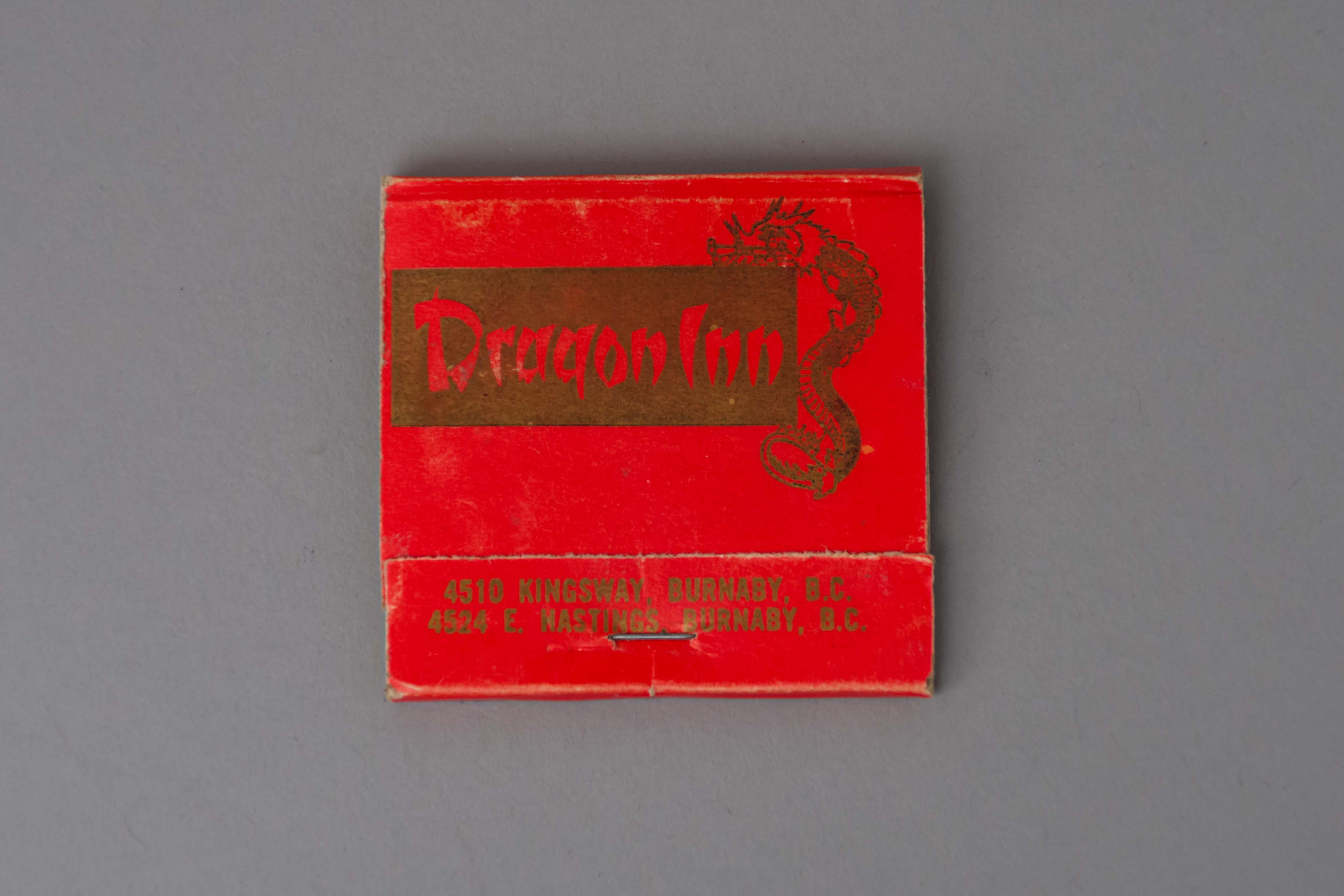
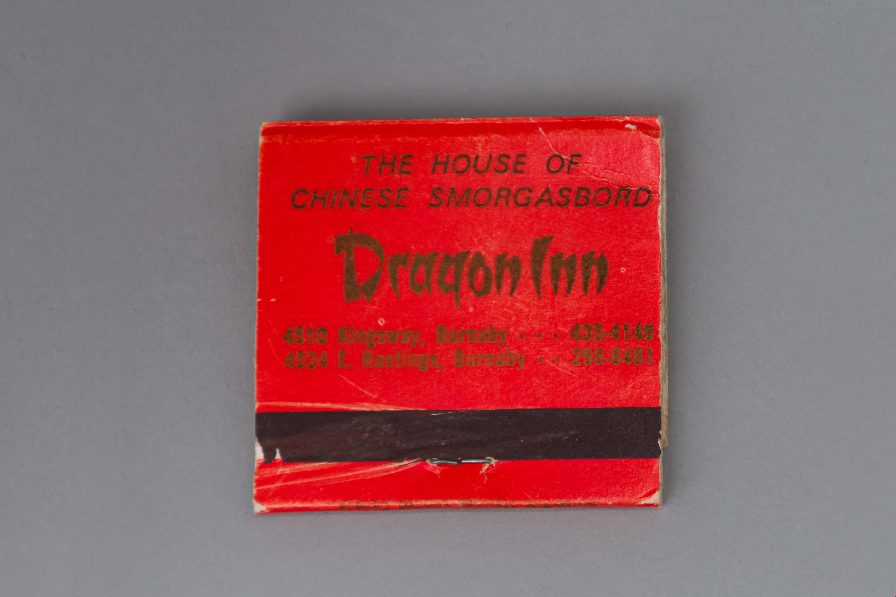
- matchbook; red folded paper with gold ink text and illustration of a dragon; "Dragon Inn / 4510 KINGSWAY, BURNABY, B.C. / 4524 E. HASTINGS, BURNABY B.C." printed on face; "THE HOUSE OF / CHINESE SMORGASBORD / Dragon Inn / 4510 Kingsway, Burnaby . . . 435-4148 / 4524 E. Hastings . . . 298-6481". There are pink-tipped matches in the book.
- Object History
- Dragon Inn belonged to the Lee family. The Dragon Inn restaurant was located at at 4510 Kingsway, on the corner of Kingsway and Willingdon Avenue (opened in the 1970s) and later at Hastings Street near Willingdon (opened in the 1990s). The Dragon Inn was known for its exterior neon sign which was removed in 1997.
- Category
- 02. Furnishings
- Classification
- Temperature Control Equipment - - Firemaking Equipment
- Object Term
- Matchbook
- Names
- Dragon Inn
- Geographic Access
- Kingsway
- Street Address
- 4510 Kingsway
- Historic Neighbourhood
- Central Park (Historic Neighbourhood)
- Planning Study Area
- Maywood Area
Images
matchbook
https://search.heritageburnaby.ca/link/museumartifact89162
- Repository
- Burnaby Village Museum
- Accession Code
- BV017.37.9
- Description
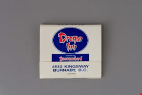
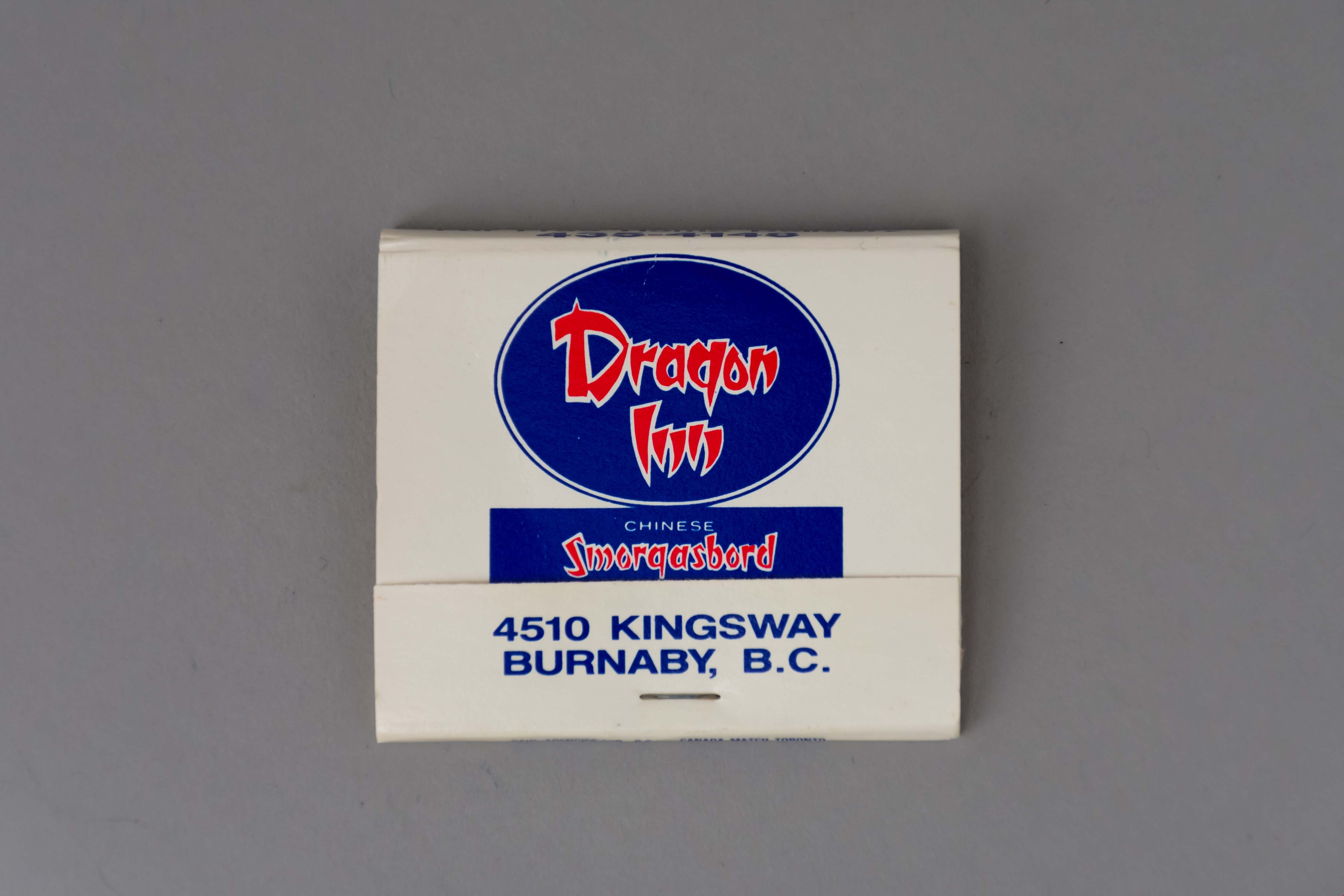
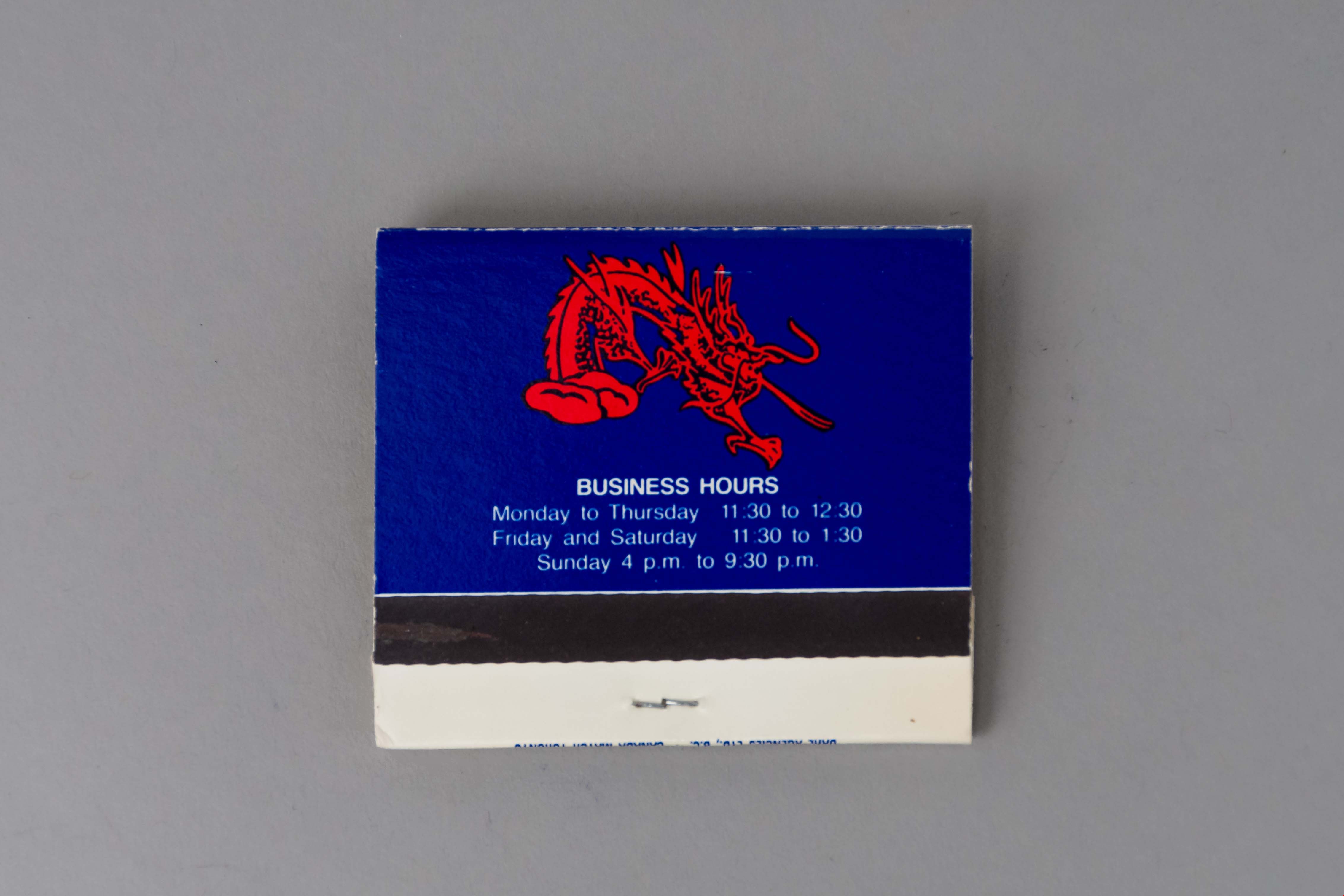
- matchbook; white folded paper with blue and red ink text and illustration of a dragon; "Dragon / Inn / CHINESE / Smorgasbord / EVERY DAY / 4510 KINGSWAY / BURNABY, B.C." printed on face; business hours printed on back. There are blue-tipped matches in the book; manufactured by "DAHL AGENCIES LTD, B.C. * CANADA MATCH TORONTO".
- Object History
- Dragon Inn belonged to the Lee family. The Dragon Inn restaurant was located at at 4510 Kingsway, on the corner of Kingsway and Willingdon Avenue (opened in the 1970s) and later at Hastings Street near Willingdon (opened in the 1990s). The Dragon Inn was known for its exterior neon sign which was removed in 1997.
- Category
- 02. Furnishings
- Classification
- Temperature Control Equipment - - Firemaking Equipment
- Object Term
- Matchbook
- Names
- Dragon Inn
- Geographic Access
- Kingsway
- Street Address
- 4510 Kingsway
- Historic Neighbourhood
- Central Park (Historic Neighbourhood)
- Planning Study Area
- Maywood Area
Images

matchbox
https://search.heritageburnaby.ca/link/museumartifact50021
- Repository
- Burnaby Village Museum
- Accession Code
- BV006.3.27
- Description
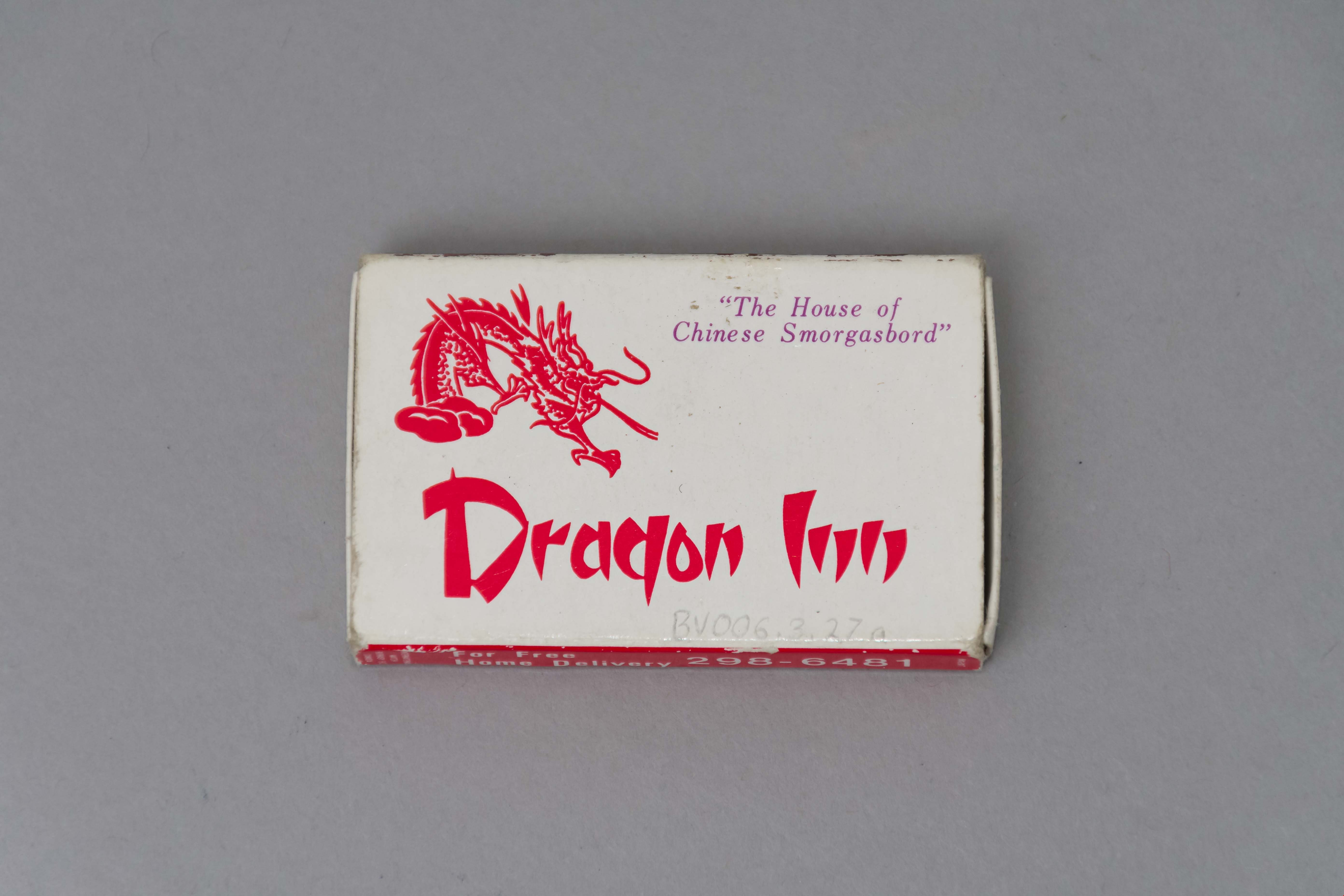
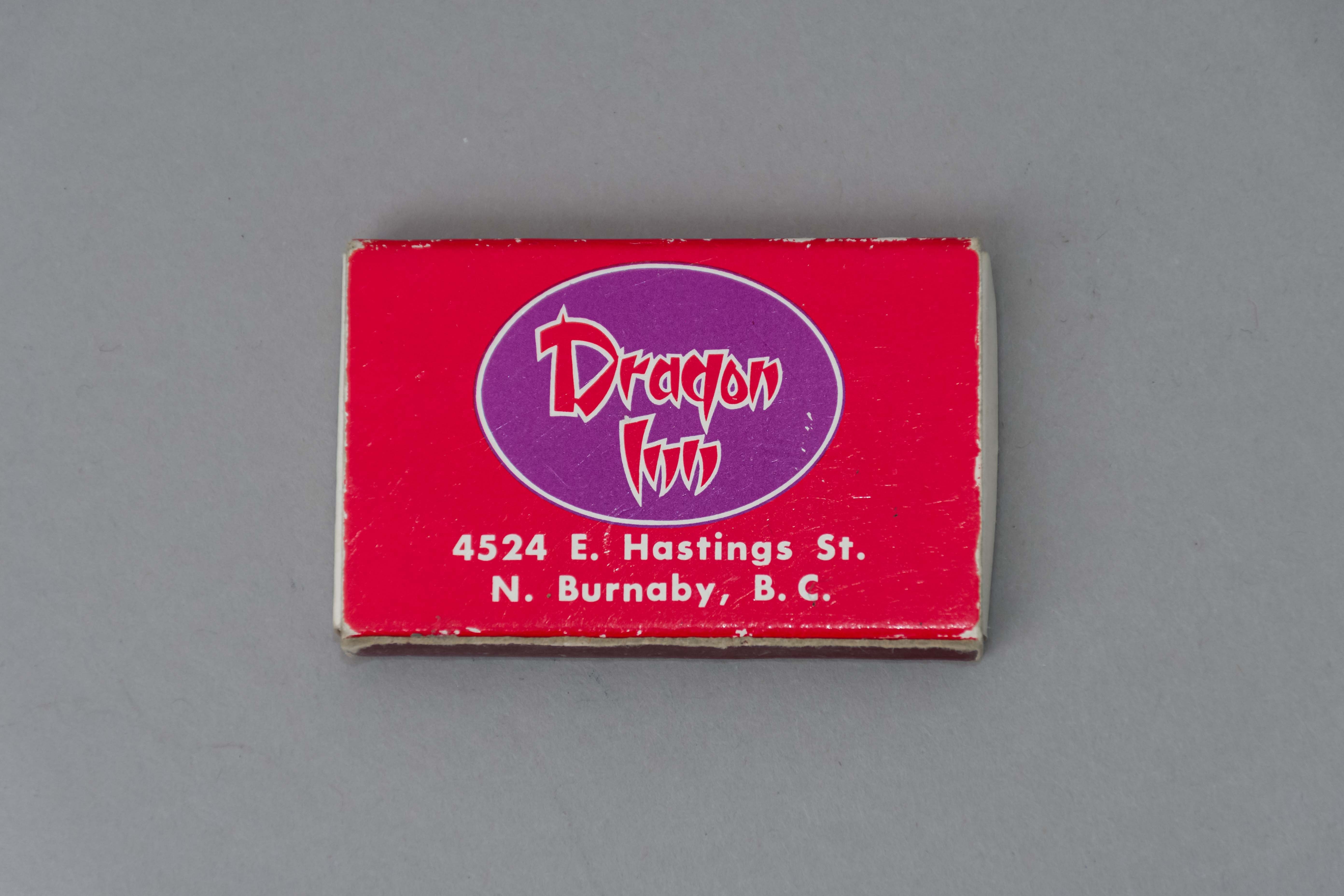
- Red and white paper match box The tray slides out of the outer covering. Outer covering features a red dragon "The House of / Chinese Smorgasbord / Dragon Inn." One side of the outer covering features a strike area the other " For Free / Home Delivery / 298 - 6481..." The other side of the outer covering " ...4524 E. hastings St. / N. Burnaby, B.C.".
- Object History
- Dragon Inn belonged to the Lee family. The Dragon Inn restaurant was located at at 4510 Kingsway, on the corner of Kingsway and Willingdon Avenue (opened in the 1970s) and later at Hastings Street near Willingdon (opened in the 1990s). The Dragon Inn was known for its exterior neon sign which was removed in 1997.
- Category
- 02. Furnishings
- Classification
- Temperature Control Equipment - - Firemaking Equipment
- Object Term
- Matchbox
- Names
- Dragon Inn
- Historic Neighbourhood
- Central Park (Historic Neighbourhood)
- Planning Study Area
- Maywood Area
Images
Train wreck at Kensington Avenue
https://search.heritageburnaby.ca/link/museumdescription4306
- Repository
- Burnaby Village Museum
- Date
- 16 Aug. 1970
- Collection/Fonds
- Burnaby Village Museum Photograph collection
- Description Level
- Item
- Physical Description
- 1 photograph : col. ; 35 mm
- Scope and Content
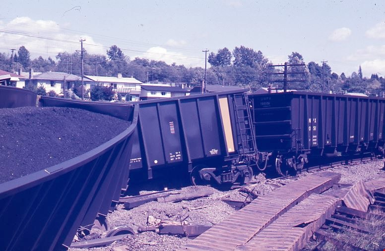
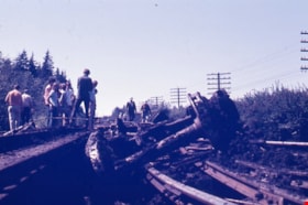
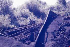
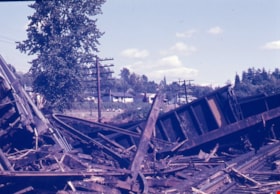
- Photograph of a train wreck at Kensington Avenue and the Lougheed Highway on Aug 16, 1970. The Farmer family was living at Buchanan Street and Holdom Avenue and they heard the train wreck when it happened.
- Repository
- Burnaby Village Museum
- Collection/Fonds
- Burnaby Village Museum Photograph collection
- Description Level
- Item
- Physical Description
- 1 photograph : col. ; 35 mm
- Material Details
- The slide was processed in Canachrome by Mortifee Munshaw.
- Handwritten text in ink on slide frame reads: "Train Wreck / Aug 16 /70".
- Scope and Content
- Photograph of a train wreck at Kensington Avenue and the Lougheed Highway on Aug 16, 1970. The Farmer family was living at Buchanan Street and Holdom Avenue and they heard the train wreck when it happened.
- Names
- Farmer, Joanne
- Geographic Access
- Kensington Avenue
- Lougheed Highway
- Accession Code
- BV017.42.1
- Access Restriction
- No restrictions
- Reproduction Restriction
- No known restrictions
- Date
- 16 Aug. 1970
- Media Type
- Photograph
- Planning Study Area
- Brentwood Area
- Scan Resolution
- 600
- Scan Date
- 05-Jun-2018
- Notes
- Title based on contents of photograph
Images

Train wreck at Kensington Avenue
https://search.heritageburnaby.ca/link/museumdescription4307
- Repository
- Burnaby Village Museum
- Date
- 16 Aug. 1970
- Collection/Fonds
- Burnaby Village Museum Photograph collection
- Description Level
- Item
- Physical Description
- 1 photograph : col. ; 35 mm
- Scope and Content
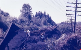
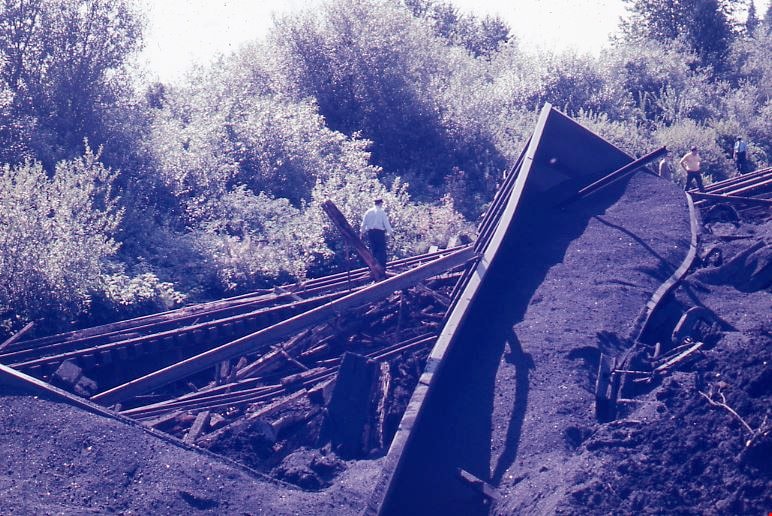
- Photograph of a train wreck at Kensington Avenue and the Lougheed Highway on Aug 16, 1970. The Farmer family was living at Buchanan Street and Holdom Avenue and they heard the train wreck when it happened.
- Repository
- Burnaby Village Museum
- Collection/Fonds
- Burnaby Village Museum Photograph collection
- Description Level
- Item
- Physical Description
- 1 photograph : col. ; 35 mm
- Material Details
- The slide was processed in Canachrome by Mortifee Munshaw.
- Handwritten text in ink on slide frame reads: "Train Wreck / Aug 16 /70".
- Scope and Content
- Photograph of a train wreck at Kensington Avenue and the Lougheed Highway on Aug 16, 1970. The Farmer family was living at Buchanan Street and Holdom Avenue and they heard the train wreck when it happened.
- Names
- Farmer, Joanne
- Geographic Access
- Kensington Avenue
- Lougheed Highway
- Accession Code
- BV017.42.2
- Access Restriction
- No restrictions
- Reproduction Restriction
- No known restrictions
- Date
- 16 Aug. 1970
- Media Type
- Photograph
- Planning Study Area
- Brentwood Area
- Scan Resolution
- 600
- Scan Date
- 05-Jun-2018
- Notes
- Title based on contents of photograph
Images
Train wreck at Kensington Avenue
https://search.heritageburnaby.ca/link/museumdescription4308
- Repository
- Burnaby Village Museum
- Date
- 16 Aug. 1970
- Collection/Fonds
- Burnaby Village Museum Photograph collection
- Description Level
- Item
- Physical Description
- 1 photograph : col. ; 35 mm
- Scope and Content
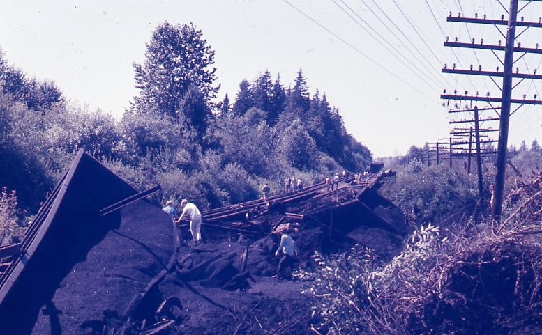
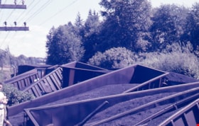
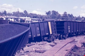
- Photograph of a train wreck at Kensington Avenue and the Lougheed Highway on Aug 16, 1970. The Farmer family was living at Buchanan Street and Holdom Avenue and they heard the train wreck when it happened.
- Repository
- Burnaby Village Museum
- Collection/Fonds
- Burnaby Village Museum Photograph collection
- Description Level
- Item
- Physical Description
- 1 photograph : col. ; 35 mm
- Material Details
- The slide was processed in Canachrome by Mortifee Munshaw.
- Handwritten text in ink on slide frame reads: "Train Wreck / Aug 16 /70 / Lougheed Hiway".
- Scope and Content
- Photograph of a train wreck at Kensington Avenue and the Lougheed Highway on Aug 16, 1970. The Farmer family was living at Buchanan Street and Holdom Avenue and they heard the train wreck when it happened.
- Names
- Farmer, Joanne
- Geographic Access
- Kensington Avenue
- Lougheed Highway
- Accession Code
- BV017.42.3
- Access Restriction
- No restrictions
- Reproduction Restriction
- No known restrictions
- Date
- 16 Aug. 1970
- Media Type
- Photograph
- Planning Study Area
- Brentwood Area
- Scan Resolution
- 600
- Scan Date
- 05-Jun-2018
- Notes
- Title based on contents of photograph
Images
Train wreck at Kensington Avenue
https://search.heritageburnaby.ca/link/museumdescription4309
- Repository
- Burnaby Village Museum
- Date
- 16 Aug. 1970
- Collection/Fonds
- Burnaby Village Museum Photograph collection
- Description Level
- Item
- Physical Description
- 1 photograph : col. ; 35 mm
- Scope and Content
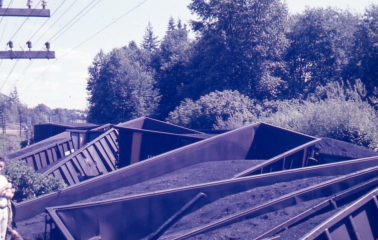
- Photograph of a train wreck at Kensington Avenue and the Lougheed Highway on Aug 16, 1970. The Farmer family was living at Buchanan Street and Holdom Avenue and they heard the train wreck when it happened.
- Repository
- Burnaby Village Museum
- Collection/Fonds
- Burnaby Village Museum Photograph collection
- Description Level
- Item
- Physical Description
- 1 photograph : col. ; 35 mm
- Material Details
- The slide was processed in Canachrome by Mortifee Munshaw.
- Handwritten text in ink on slide frame reads: "Train Wreck / Aug 16 /70".
- Scope and Content
- Photograph of a train wreck at Kensington Avenue and the Lougheed Highway on Aug 16, 1970. The Farmer family was living at Buchanan Street and Holdom Avenue and they heard the train wreck when it happened.
- Names
- Farmer, Joanne
- Geographic Access
- Kensington Avenue
- Lougheed Highway
- Accession Code
- BV017.42.4
- Access Restriction
- No restrictions
- Reproduction Restriction
- No known restrictions
- Date
- 16 Aug. 1970
- Media Type
- Photograph
- Planning Study Area
- Brentwood Area
- Scan Resolution
- 600
- Scan Date
- 05-Jun-2018
- Notes
- Title based on contents of photograph
Images
Train wreck at Kensington Avenue
https://search.heritageburnaby.ca/link/museumdescription4310
- Repository
- Burnaby Village Museum
- Date
- 16 Aug. 1970
- Collection/Fonds
- Burnaby Village Museum Photograph collection
- Description Level
- Item
- Physical Description
- 1 photograph : col. ; 35 mm
- Scope and Content
- Photograph of a train wreck at Kensington Avenue and the Lougheed Highway on Aug 16, 1970. The Farmer family was living at Buchanan Street and Holdom Avenue and they heard the train wreck when it happened.
- Repository
- Burnaby Village Museum
- Collection/Fonds
- Burnaby Village Museum Photograph collection
- Description Level
- Item
- Physical Description
- 1 photograph : col. ; 35 mm
- Material Details
- The slide was processed in Canachrome by Mortifee Munshaw.
- Handwritten text in ink on slide frame reads: "Train Wreck / Aug 16 /70".
- Scope and Content
- Photograph of a train wreck at Kensington Avenue and the Lougheed Highway on Aug 16, 1970. The Farmer family was living at Buchanan Street and Holdom Avenue and they heard the train wreck when it happened.
- Names
- Farmer, Joanne
- Geographic Access
- Kensington Avenue
- Lougheed Highway
- Accession Code
- BV017.42.5
- Access Restriction
- No restrictions
- Reproduction Restriction
- No known restrictions
- Date
- 16 Aug. 1970
- Media Type
- Photograph
- Planning Study Area
- Brentwood Area
- Scan Resolution
- 600
- Scan Date
- 05-Jun-2018
- Notes
- Title based on contents of photograph
Images

Train wreck at Kensington Avenue
https://search.heritageburnaby.ca/link/museumdescription4311
- Repository
- Burnaby Village Museum
- Date
- 16 Aug. 1970
- Collection/Fonds
- Burnaby Village Museum Photograph collection
- Description Level
- Item
- Physical Description
- 1 photograph : col. ; 35 mm
- Scope and Content
- Photograph of a train wreck at Kensington Avenue and the Lougheed Highway on Aug 16, 1970. The Farmer family was living at Buchanan Street and Holdom Avenue and they heard the train wreck when it happened.
- Repository
- Burnaby Village Museum
- Collection/Fonds
- Burnaby Village Museum Photograph collection
- Description Level
- Item
- Physical Description
- 1 photograph : col. ; 35 mm
- Material Details
- The slide was processed in Canachrome by Mortifee Munshaw.
- Handwritten text in ink on slide frame reads: "Train Wreck / Aug 16 /70".
- Scope and Content
- Photograph of a train wreck at Kensington Avenue and the Lougheed Highway on Aug 16, 1970. The Farmer family was living at Buchanan Street and Holdom Avenue and they heard the train wreck when it happened.
- Names
- Farmer, Joanne
- Geographic Access
- Kensington Avenue
- Lougheed Highway
- Accession Code
- BV017.42.6
- Access Restriction
- No restrictions
- Reproduction Restriction
- No known restrictions
- Date
- 16 Aug. 1970
- Media Type
- Photograph
- Planning Study Area
- Brentwood Area
- Scan Resolution
- 600
- Scan Date
- 05-Jun-2018
- Notes
- Title based on contents of photograph
Images