Narrow Results By
Creator
- Binks, James 1
- Burnaby Village Museum 5
- Burnett, David H. 1
- Canada. Department of Agriculture 1
- Canadian Broadcasting Corporation 1
- Canadian Government Exhibition Commisssion 1
- Charbonneau, G. 1
- Damer, Eric 1
- Donoahue, Jim
- Frame, Norvie Leggett 1
- Garden, Hermon & Burwell 1
- Government of British Columbia - Department of Lands and Works
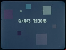
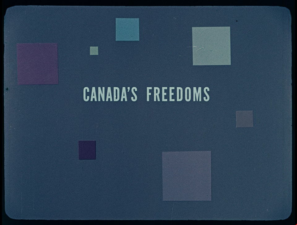
Canada's Freedoms
https://search.heritageburnaby.ca/link/museumlibrary7536
- Repository
- Burnaby Village Museum
- Publication Date
- c1958
- Repository
- Burnaby Village Museum
- Collection
- Special Collection
- Material Type
- Photograph
- Accession Code
- BV016.7.10
- Contributor
- Lunn, John
- Charbonneau, G.
- Donoahue, Jim
- Moller, Hans
- Place of Publication
- Ottawa
- Publisher
- National Film Board of Canada
- Publication Date
- c1958
- Physical Description
- 24 photographs : filmstrip ; cellulose aacetate, col. pos.
- Library Subject (LOC)
- Documentary Films
- Filmstrips
- Civil rights--Canada
- Subjects
- Rights - Human Rights
- Names
- Oakalla Prison Farm
- Object History
- Came in with Oakalla Prison records and artifacts in 1991. Filmstrip was utilized by staff and inmates of Oakalla. Digitized by BVM into preservation and accessible formats in 2020.
- Notes
- Educational filmstrip with text and illustrations providing a basic explanation on "Canada's Freedoms" from the Canadian Charter of Rights and Freedoms including Freedom of Speech, Freedom of Creative Expression, Freedom of Worship, Freedom of Movement, Freedom of Occupation, Freedom of Association and Freedom of Political Choice.
Images
Documents

Map of South Western Part of British Columbia
https://search.heritageburnaby.ca/link/museumdescription8688
- Repository
- Burnaby Village Museum
- Date
- 1897
- Collection/Fonds
- Burnaby Village Museum Map collection
- Description Level
- Item
- Physical Description
- 1 map : col. ink on paper ; 68 x 88 cm
- Scope and Content
- Item consists of a "MAP OF THE SOUTH-WESTERN PART OF BRITISH COLUMBIA”. Map identifies geographic land districts of New Westminster District; Coast District; Lillooet District; Yale District, Kamloops Division, Yale Division and districts on Vancouver Island. Map also includes the northern portions…
- Repository
- Burnaby Village Museum
- Collection/Fonds
- Burnaby Village Museum Map collection
- Description Level
- Item
- Physical Description
- 1 map : col. ink on paper ; 68 x 88 cm
- Material Details
- Scale [1:633600]
- Scope and Content
- Item consists of a "MAP OF THE SOUTH-WESTERN PART OF BRITISH COLUMBIA”. Map identifies geographic land districts of New Westminster District; Coast District; Lillooet District; Yale District, Kamloops Division, Yale Division and districts on Vancouver Island. Map also includes the northern portions of the State of Washington below the 49th parallel.
- Publisher
- The Colonist Litho Victoria B.C.
- Responsibility
- Martin, George Bohun
- Accession Code
- BV993.12.12
- Access Restriction
- No restrictions
- Reproduction Restriction
- No known restrictions
- Date
- 1897
- Media Type
- Cartographic Material
- Scan Resolution
- 600
- Scan Date
- 2023-08-17
- Notes
- Transcribed title
- Scale equals 1 inch to 10 miles
- "Compiled and drawn by direction of the Honouable G.B. Martin, Chief Commissioner of Lands and Works, Victoria, B.C."
- Signed by Surveyor General "Tom Kains"
